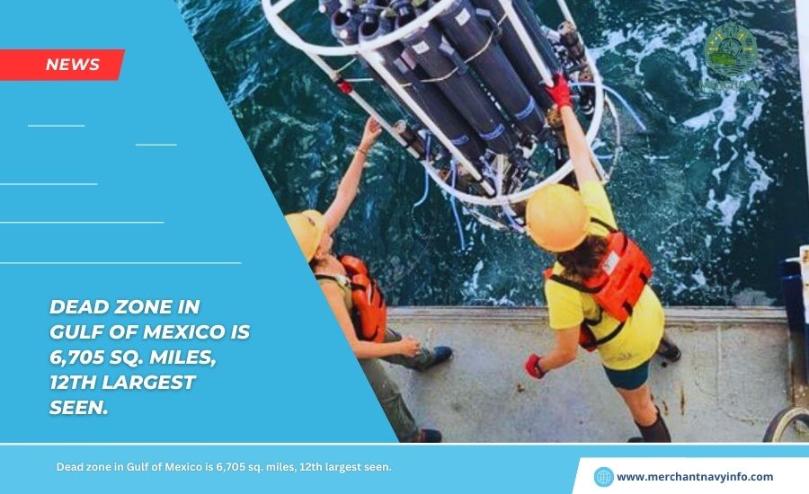
Gulf Of Mexico’s “Dead Zone” Is 6,705 Square Miles, The 12th Largest Area Ever Measured.
Scientists supported by the National Oceanic and Atmospheric Administration (NOAA) announced that the Gulf of Mexico’s “dead zone” has expanded to about 6,705 square miles this year. Making it the 12th largest area measured in 38 years.
Fish and other marine life struggle to survive in an area with little or no oxygen. Covering more than 4 million acres, about the size of New Jersey. The size of this year’s dead zone is indicative of the ongoing environmental challenges facing the region.
Scientists from Louisiana State University and the Louisiana Universities Marine Consortium (LUMCON) conducted the measurements July 21-26 aboard the research vessel Pelican.
The Mississippi River/Gulf of Mexico Hypoxia Working Group relies heavily on this annual study to determine the health of the Gulf.
The goal of the collaboration between states and the federal government is to reduce the five-year average size of the dead zone to less than 1,900 square miles by 2035.
Over the past five years, the average dead zone size was 4,298 square miles, more than double the 2035 target.
Nicole LeBoeuf, deputy administrator for the National Oceanic and Atmospheric Administration’s National Ocean Service, said they need to measure regional hypoxia to indicate ocean health. Especially given climate change, the potential for stronger storms, and increased precipitation and runoff.
Long-term data can help decision-makers develop plans to reduce the impacts of dead zones on coastal resources and communities.
What is NOAA Forecasted?
Based on NOAA’s June forecast, Mississippi River flow and nutrient runoff data showed the dead zone size was 5,827 square miles, above average. The actual measured volume was within the expected uncertainty range, proving the accuracy of the nutrient reduction model.
Dr. Nancy Rabalais, a professor at Louisiana State University and the ship’s chief scientist, said the hypoxic area on the seafloor was larger than expected. But within the range experienced by the ship in its approximately four decades of research trips.
Dead zones are primarily due to algae growth stimulated by additional nutrients in the Mississippi-Atchafalaya Basin. When these algae die and decompose, they reduce oxygen levels in the water, causing hypoxia. This condition causes fish and shrimp to migrate, affecting their growth, reproduction, and habitat use.
To address this issue, EPA established the Gulf Hypoxia Program in June 2022 to accelerate nutrient reduction efforts. As part of a bipartisan infrastructure bill, the EPA will invest $60 million in the project.
Final Verdict
Hypoxia Task Force states that it is strengthening nutrient reduction measures while building climate resilience and ensuring that vulnerable communities benefit.
Lowa Secretary of Agriculture Mike Nainger said the Mississippi River’s importance to our economy and communities cannot be underestimated. He also added that focused conservation efforts have positively impacted water quality, and they are committed to expanding these efforts to include diverse landscapes.
NOAA continues improving its understanding and predictions of dead zones through numerous efforts. Such as coastal hypoxia research, marine technology transfer, unmanned systems, and monitoring projects.
The agency also explores using autonomous surface vehicles (ASVs) to map hypoxia. Several ASVs will be deployed this year, and a measurement study will compare with ship-based data.