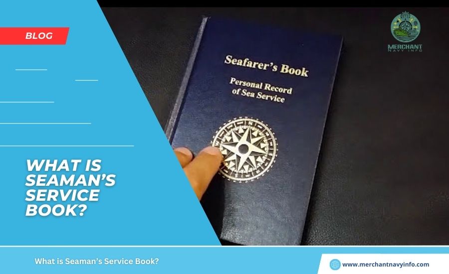
Maritime novels and other adventure stories often feature terrifying cases. In which ships are stranded at sea due to storms or technical malfunctions, leaving them unable to find their way. Indeed, navigation in the open ocean is much more difficult than on land. The ocean, with its vastness and internal unpredictable turmoil, always presents captains and other sailors with an uncertain journey. Land provides sailors with some reliable visual clues in the landscape, but the ocean leaves no useful identifying features. Because of this complexity, ocean navigation has evolved significantly since the advent of humans. And various methods and measurements have been developed to save the lives of sailors on voyages. For many people, encountering measurements taken at sea. For the first time will raise an eyebrow and wonder. Why they need to be different from the miles and kilometers used on land. What is a nautical mile?
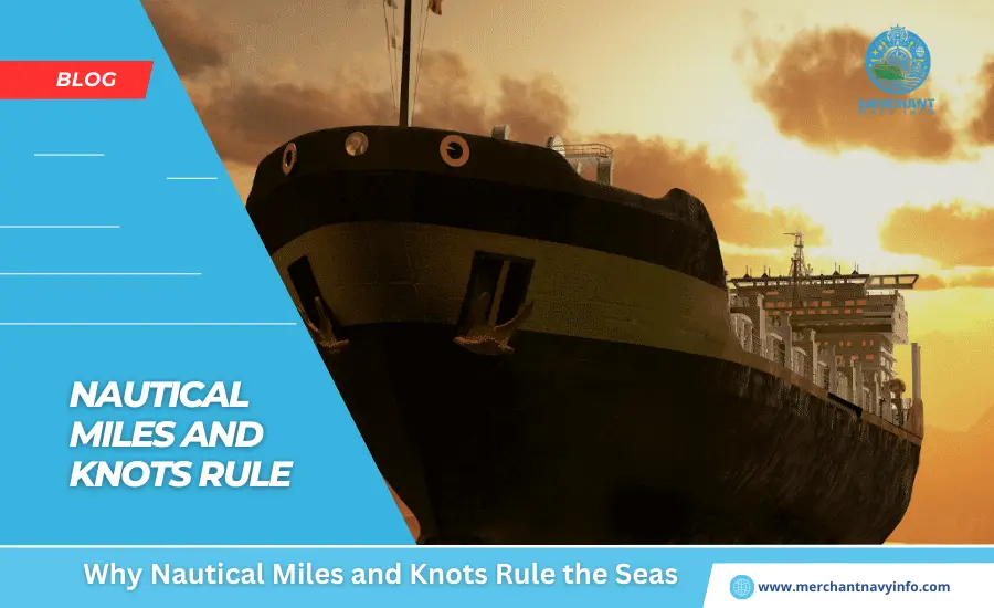
Unlike measuring distance and speed on land, sailors use nautical miles and knots to measure them while sailing. At sea, a statute mile is considered to be any length that has no special significance in navigational calculations. In particular, replacing normal measurements at sea with nautical miles and knots. Helps sailors quickly read maps that use latitude and longitude. The nautical mile, developed from a geographical mile. Is now used by all countries as a unit of measurement for air and sea transport. It is also used in treaties and international law to determine the boundaries of territorial waters.
What is a Nautical Mile?
So What is a nautical mile ?A nautical mile is a unit of measurement defined as 1,852 meters. Or 1.Eight hundred fifty-two kilometers, which is based on the circumference of the Earth and equals one minute of latitude. One mile on land equals 5,280 feet, and one nautical mile equals 60 degrees latitude. It varies from 6,046 feet at the equator to 6,092 feet at 60 degrees latitude. This difference occurs because the Earth is not a perfect sphere but an oblate spheroid.
After bisecting the Earth at the equator, you can select a part of the Earth and divide it into 360 degrees. By considering the equator as a circle. Then, 1 degree can be divided into 60 minutes, of which 1 minute. Of his arc on Earth corresponds to 1 nautical mile. A nautical mile is slightly greater than one statute mile (1 nautical mile = 1.1508 statute mile). According to British measurements, one nautical mile is equal to 1.One thousand five hundred eight miles or 6,076 feet.
What is a Knot?
After What is a nautical mile come the knot. Of course, these are not sailboat knots like the figure eight knot. A nautical knot is a unit of speed. Equal to 1 nautical mile per hour (1 knot = 1.15 miles per hour) or approximately 1.15078 miles per hour. Similar to measuring speed and distance on land, nautical miles and knots describe the movement of ships at sea. For example, a boat or ship travelling at 15 knots can travel at 15 nautical miles per hour.
History of Shipping
Since the beginning of shipping, various methods have been used to make navigating the long and vast oceans easier. Many traditional practices, including geometry, astronomy, and even specialised equipment, helped sailors navigate their destinations. In ancient times, long before ship clocks became commonplace, sailors relied on time derived from the positions of the sun. Moon, and stars – now known as celestial navigation. Sometimes luck, along with know-how, protected them. As they ventured into unknown and dangerous waters. In later times, sailors were able to create maps depicting distant coastlines and common features of the ocean during their voyages. Historical records show that such maps created in early times were marked. With simple outlines of coastlines to aid in written or oral instructions. In addition, the compass, astrolabe, and caliper were tools of early sailors.
Mariner’s Compass
The mariner’s compass was one of the earliest navigational instruments. An early form of magnetic compass, and was widely used in ancient times. This compass was primarily used to determine wind direction when the sun was not visible. Similarly, crystals, astrolabes, and quadrants helped sailors select latitudes at various stages of the voyage. The Phoenicians were the first Western civilization to develop sea navigation thousands of years ago. The Phoenicians relied on primitive maps and observations of the sun and a stars to navigate their ships to their destinations. In later times, the Phoenicians and their successors, the Carthaginians, also invented a tool known as a tuning weight. This bell-shaped tool, made of stone or lead, was attached to the tallow by a long rope.Sailors lowered this weight to the ocean floor to measure the depth of the water and used these measurements to estimate distance from land.
Additionally,
Additionally, the tool was able to pick up sediment on the ocean floor using the tallow inside, allowing experienced sailors to locate ships. However, it took centuries before a standard method of measuring distance and speed when navigating the seas was established. Many new techniques and methods were experimented from time to time that gave greater importance to ocean navigation. Until the 15th century, ocean navigation was limited to areas with predictable winds and currents and was, therefore, primarily domestic shipping. On the open ocean, sailors relied primarily on dead reckoning or calculating the current position based on the ship’s last position, speed, and direction.
In the years that followed, the development of scientific and mathematically based methods and tools enabled further adventures for seafarers. Inventions such as the sextant and tip-log chronometer made calculating latitude and longitude possible and much easier. In modern times, old navigational instruments have been replaced by electronic and technological equivalents, and standard measurements have been determined, including the prime meridian. Ship navigation has become more systematic and easier with the help of new technologies, from gyrocompasses to GPS.
History of Nautical Miles and Knots Speed
After several years of using several techniques to determine the position and speed of ships, British mathematician Edmund Gunter developed a new quadrant for defining maritime latitudes. We succeeded in improving navigational instruments, including Günther, who argued that lines of latitude could be used as the basis for distance measurement units. His Eratosthenes and his successors had already determined the circumference of the Earth and were helping other mathematicians to build on it. Günther proposed the nautical mile as one minute or one-sixtieth (1/60) of latitude (1 degree is 1/360 of a circle, and 1 minute is 1/21600 of a circle). Using the Earth’s circumference measured by Dutch scientist Willebrord Sunellius, also known as Snell, he estimated it to be 24,630 Roman miles or 24,024 statute miles. Günther defined a nautical mile as 6,080 feet (1,853 meters); H. His one arc minute longitude at 48 degrees north latitude.
Developments
Despite several decades of these developments, there was no uniform definition of the nautical mile, with different countries adopting different definitions until 1929. In 1929, the first International Extraordinary Hydrographic Conference in Monaco recognized that the international nautical mile was exactly 6,076 feet (1,852 feet). Meter). This standard definition of nautical mile used is accepted by the International Hydrographic Organization and the International Bureau of Weights and Measures. US measurements were based on the Clark Ellipsoid of 1866, and based on this calculation, one nautical mile was 6080.
Twenty feet (1,853 meters). Similarly, the British defined nautical miles based on knots, a unit of speed measured by pulling a knotted line. A knot was, therefore, defined as one nautical mile and one nautical mile was equivalent to 6,080 feet (1853.18 meters). However, the United States and Britain abandoned that definition in his 1954 and 1970 and accepted the international measurement of the nautical mile. Meanwhile, the origin of the term knot dates back to the 17th century, when sailors used a device called a “common log” to measure the speed of a ship.
Common Log
A common log was a device consisting of a wedge-shaped piece of wood and a pulley with equally spaced knots speedattached to the piece of wood. While sailing, a piece of wood was lowered from the stern and left floating for a certain period of time, and the line was allowed to run freely from the spool while the piece of wood was floating.
After a while, the line was retracted, and the sailors measured the speed of the ship by counting the number of knots speedin the rope between the ship and the forest.Sailors took frequent average measurements throughout her day to measure the ship’s speed. Advanced technology is used to obtain knot measurements using mechanical towing equipment, Doppler radar, and GPS.
Nautical Miles and Knot Calculations
The nautical chart becomes one of the essential elements on the outside of the ship as soon as she sets sail. A fixed relationship between distance, speed, and time helps sailors calculate the distance a ship is expected to travel in a given amount of time. The formula used by sailors is 60 x D = S x T, expressed as 60D = ST.